3D Scanning & Modeling
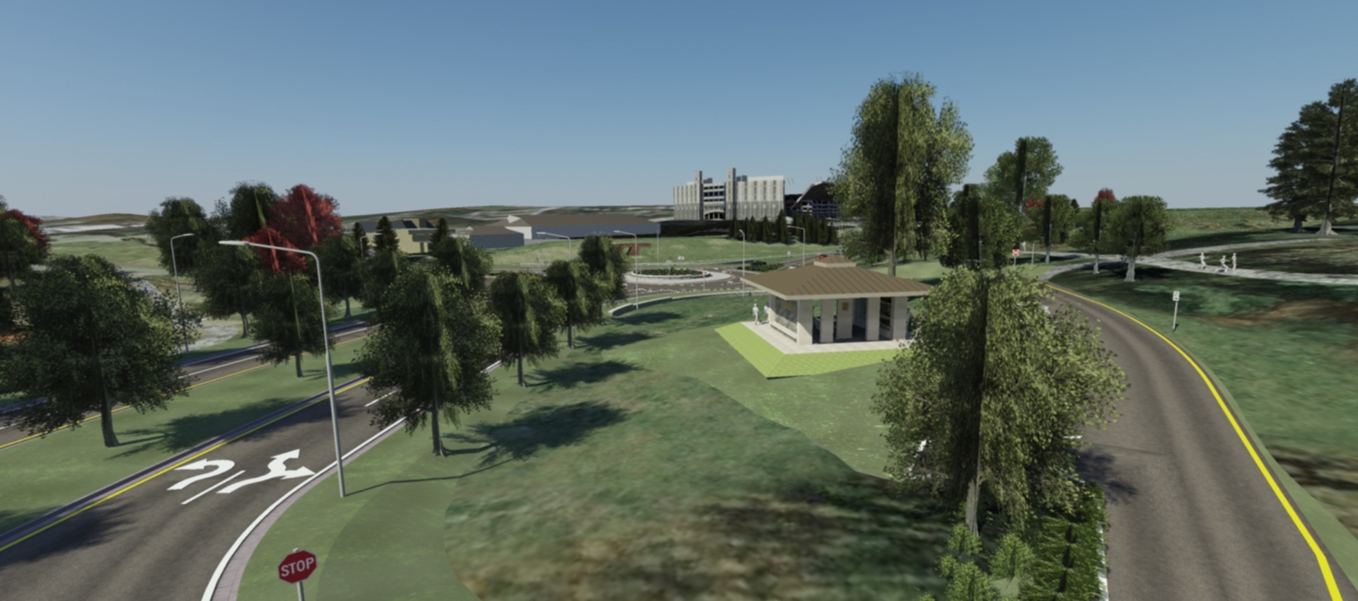
AMT designers can create 3D models of projects that are geometrically and visually accurate. On AMT’s Southgate Drive project at Virginia Tech, we needed a way to convey the experience of driving the roadway, including how to navigate the new double diamond interchange. Stakeholders were also interested in keeping a rural feel at the university and were concerned about what a major roadway project would do to the look and feel that they so valued. AMT’s Landscape Architecture Team developed a series of videos that allow viewers to virtually “drive” the length of the roadway. The videos include details such as traffic, landscaping, lighting, signage and viewsheds. Our team is able to distill 1,300 pages of design documents into one complete, visually accurate representation of the project so that anyone who sees the videos will understand what the project will look like once it is complete.
We needed a way to convey the experience of driving the roadway, including how to navigate the new double diamond interchange.
Related Services
Topographic Surveys
A topographic map shows the location and elevation of manmade and natural features within the limits of survey of the project site....
learn more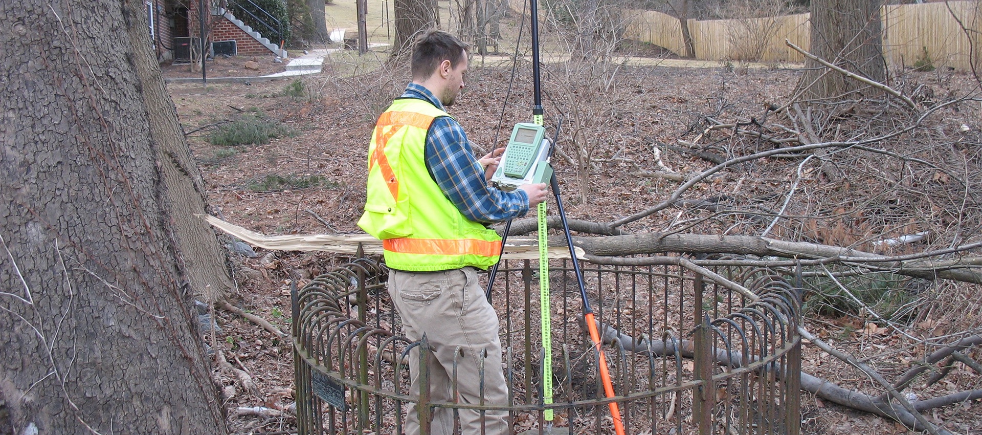
Boundary and Plats
A boundary survey is crucial to any planning or design of transportation projects, site development, and site improvement projects. A boundary survey...
learn more
Construction Stakeout
A construction stakeout survey involves driving wooden stakes in the ground to identify the location of designed improvements. New construction typically requires...
learn more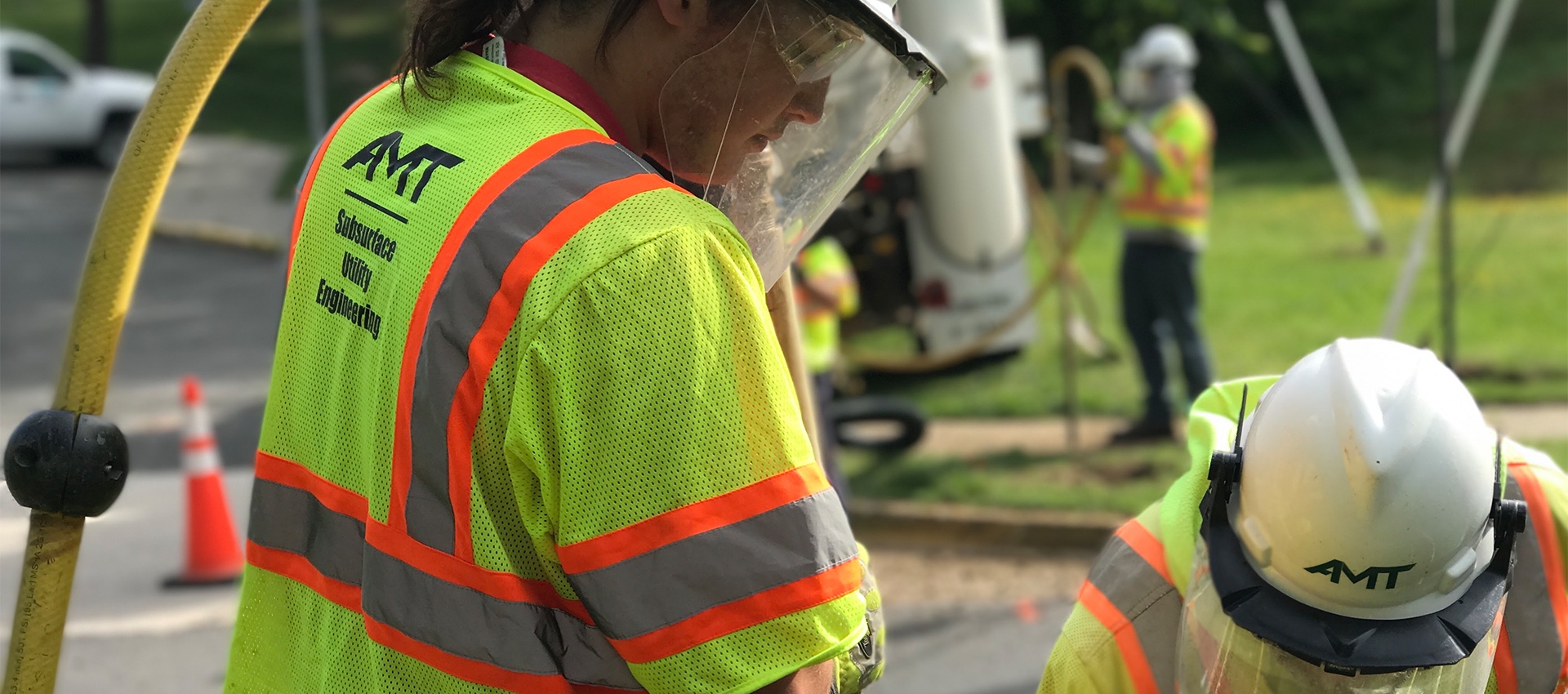
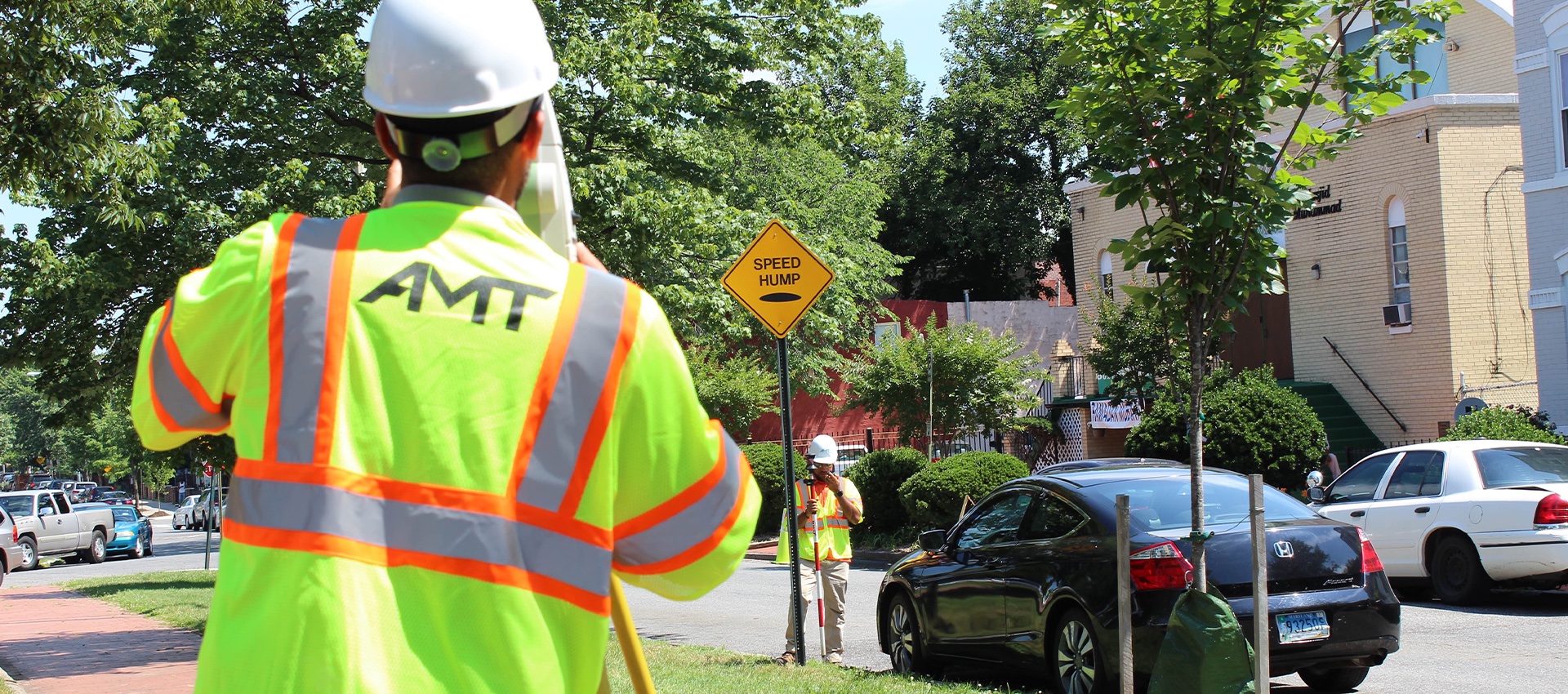
Utility Test Hole / Locating / Designating
AMT’s SUE Team offers a wide range of services to support utility mapping requirements and has designated more than 5 million feet...
learn more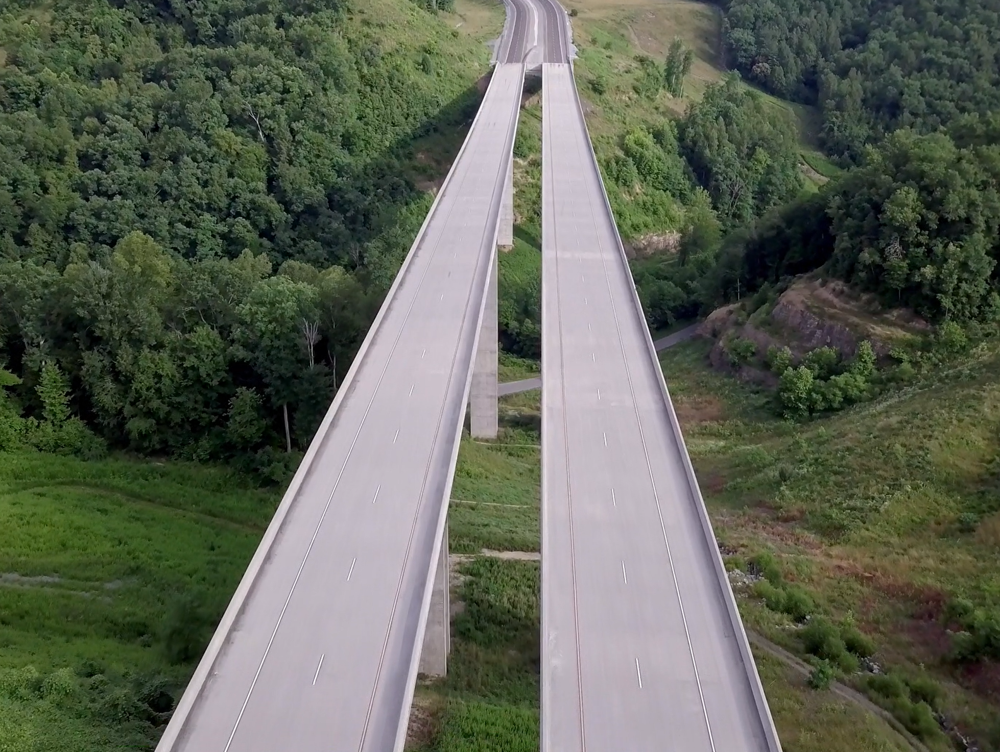
Drones / UAV Capabilities
AMT utilizes DJI Phantom 4 Pro drones to gather image data for project inspections, corridor mapping, engineering conceptual planning, topographic surveying and...
learn more