Boundary and Plats
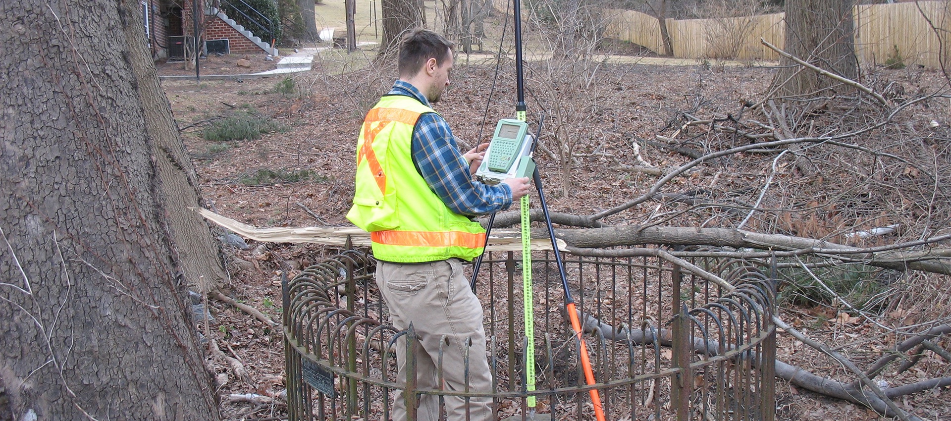
A boundary survey is crucial to any planning or design of transportation projects, site development, and site improvement projects. A boundary survey consists of the re-establishment of right-of-way lines, property lines, and easement lines performed under the direction of AMT’s experienced licensed staff.
AMT’s survey team can provide full boundary surveys, right-of-way plats, and legal descriptions based on available public records and surveyed field evidence. All surveys are supervised by a state-licensed surveyor. AMT’s surveyors are licensed across a multitude of states. Members of the survey team (in the field and in the office) have two- or four-year college degrees. Some of the staff have been qualified as Certified Survey Technicians under a program administered by the National Society of Professional Surveyors and the American Congress on Surveying and Mapping.
All boundary and right-of-way surveys comply with state specific standards, including office preparations, field procedures, monumentation, and plat preparation.
AMT has been performing boundary surveys in Maryland, Virginia and the District of Columbia for more than 50 years.
Related Services
Topographic Surveys
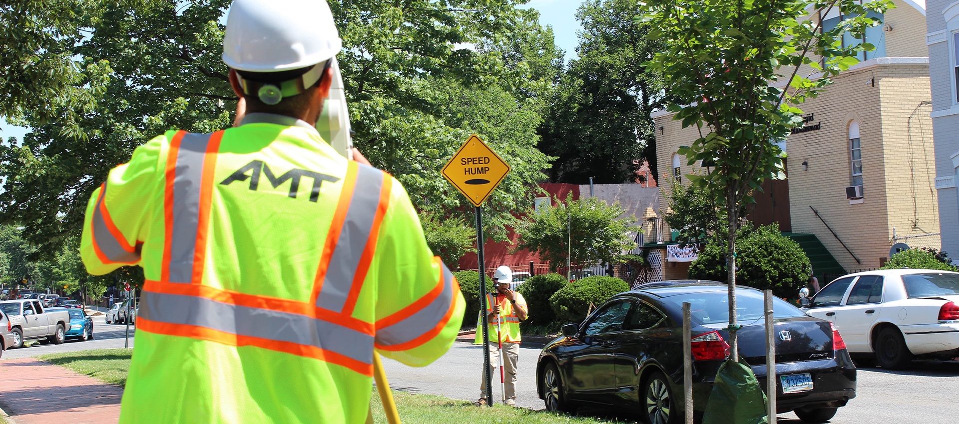
A topographic map shows the location and elevation of manmade and natural features within the limits of survey of the project site....
learn more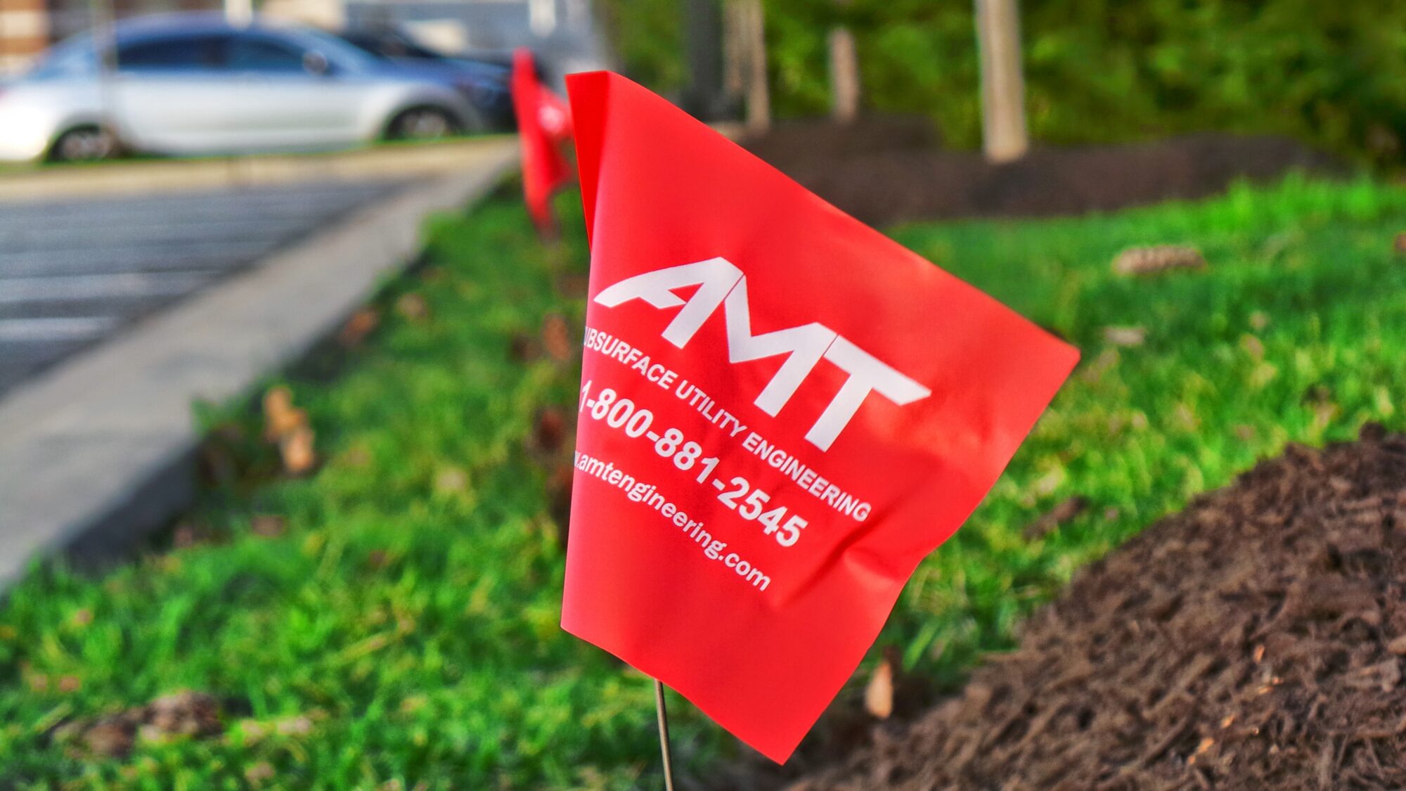
Construction Stakeout
A construction stakeout survey involves driving wooden stakes in the ground to identify the location of designed improvements. New construction typically requires...
learn more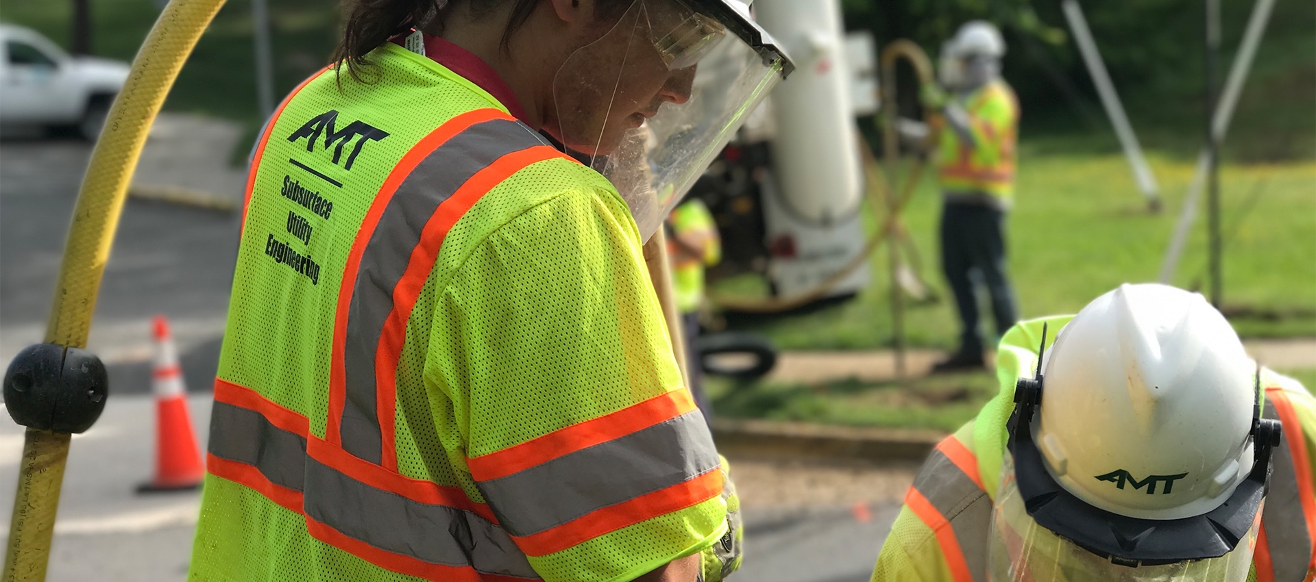
Utility Test Hole / Locating / Designating
AMT’s SUE Team offers a wide range of services to support utility mapping requirements and has designated more than 5 million feet...
learn more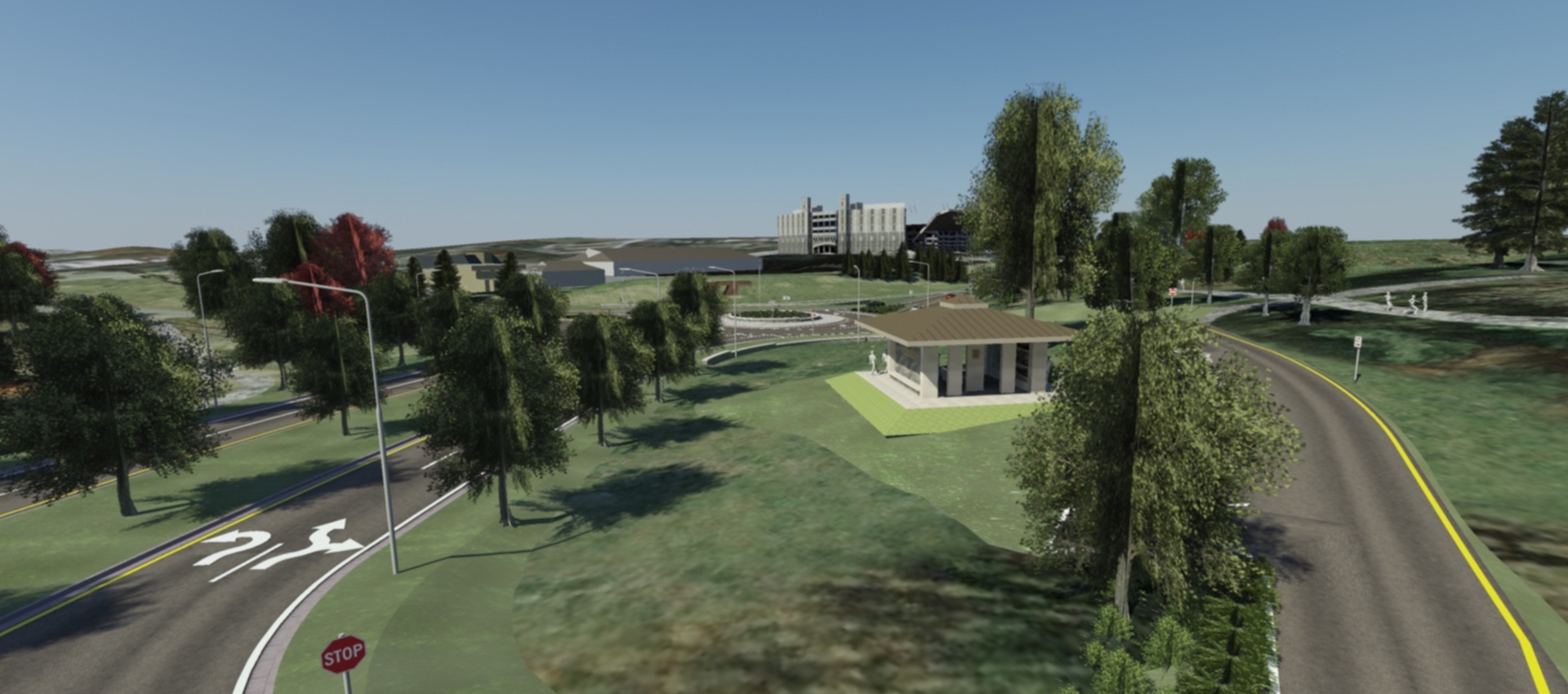
3D Scanning & Modeling
AMT designers can create 3D models of projects that are geometrically and visually accurate. On AMT’s Southgate Drive project at Virginia Tech,...
learn more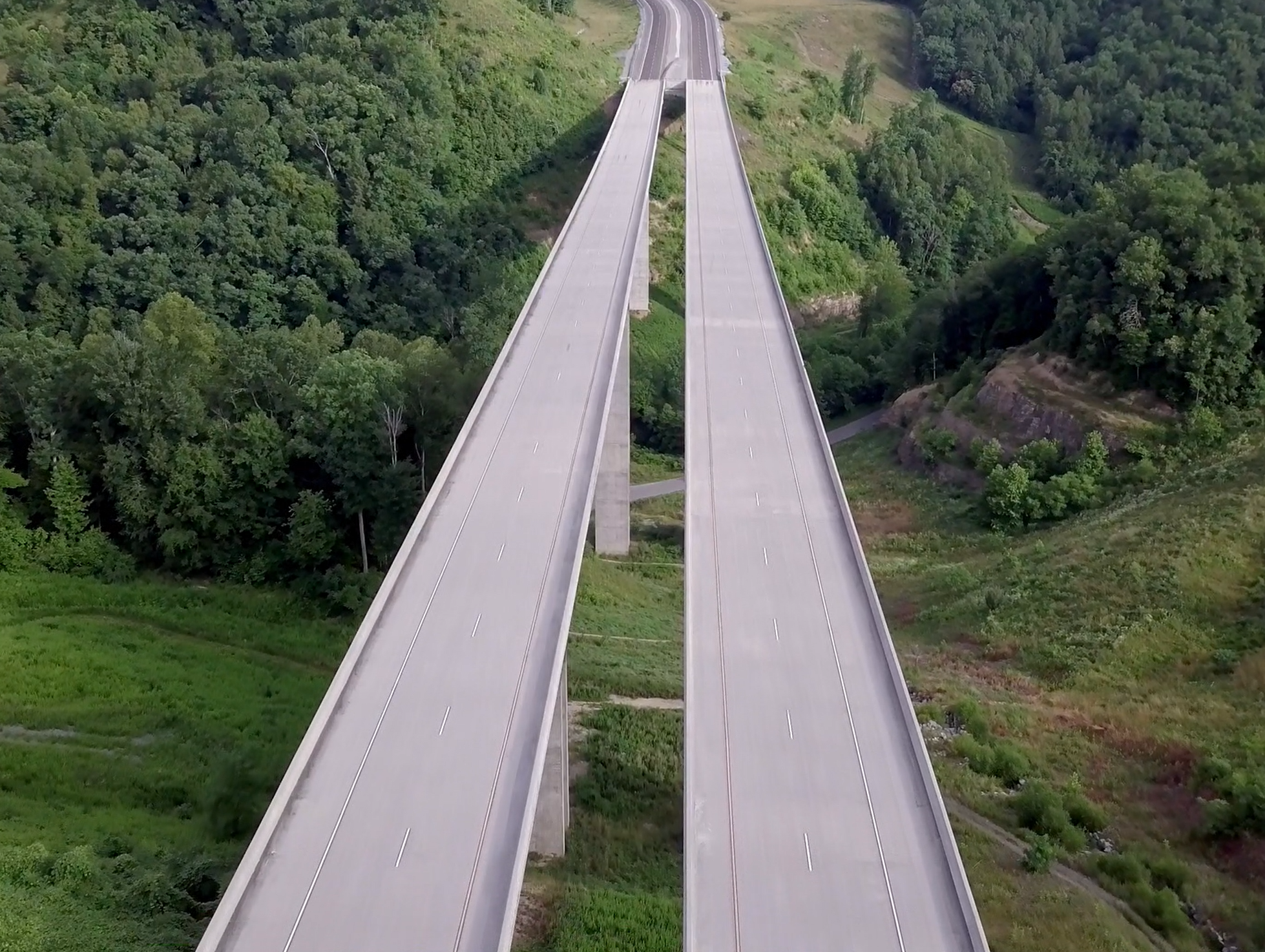
Drones / UAV Capabilities
AMT utilizes DJI Phantom 4 Pro drones to gather image data for project inspections, corridor mapping, engineering conceptual planning, topographic surveying and...
learn more
