Arlington National Cemetery Water Plan
Arlington, Virginia
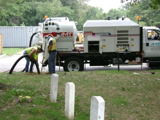
The staff at Arlington National Cemetery needed a comprehensive water plan that showed an accurate inventory of the water infrastructure in the cemetery. AMT used Quality Level B utility designating services to accurately mark the location of the water lines and items such as water valves, to survey the utility markings and create an AutoCAD drawing and GIS database of the system. We performed extensive record searches for both public and private water lines and from that research created drawings that we used to designate the utility locations using test holes and marked them. Then we used GPS and conventional methods to survey the markings and create the CAD drawings. We worked with cemetery maintenance staff to identify other possible water lines that may exist or have been abandoned and built and populated the ArcGIS database for the system.
AMT used Quality Level B utility designating services to accurately mark the location of the water lines and items such as water valves, to survey the utility markings and create an AutoCAD drawing and GIS database of the system.


