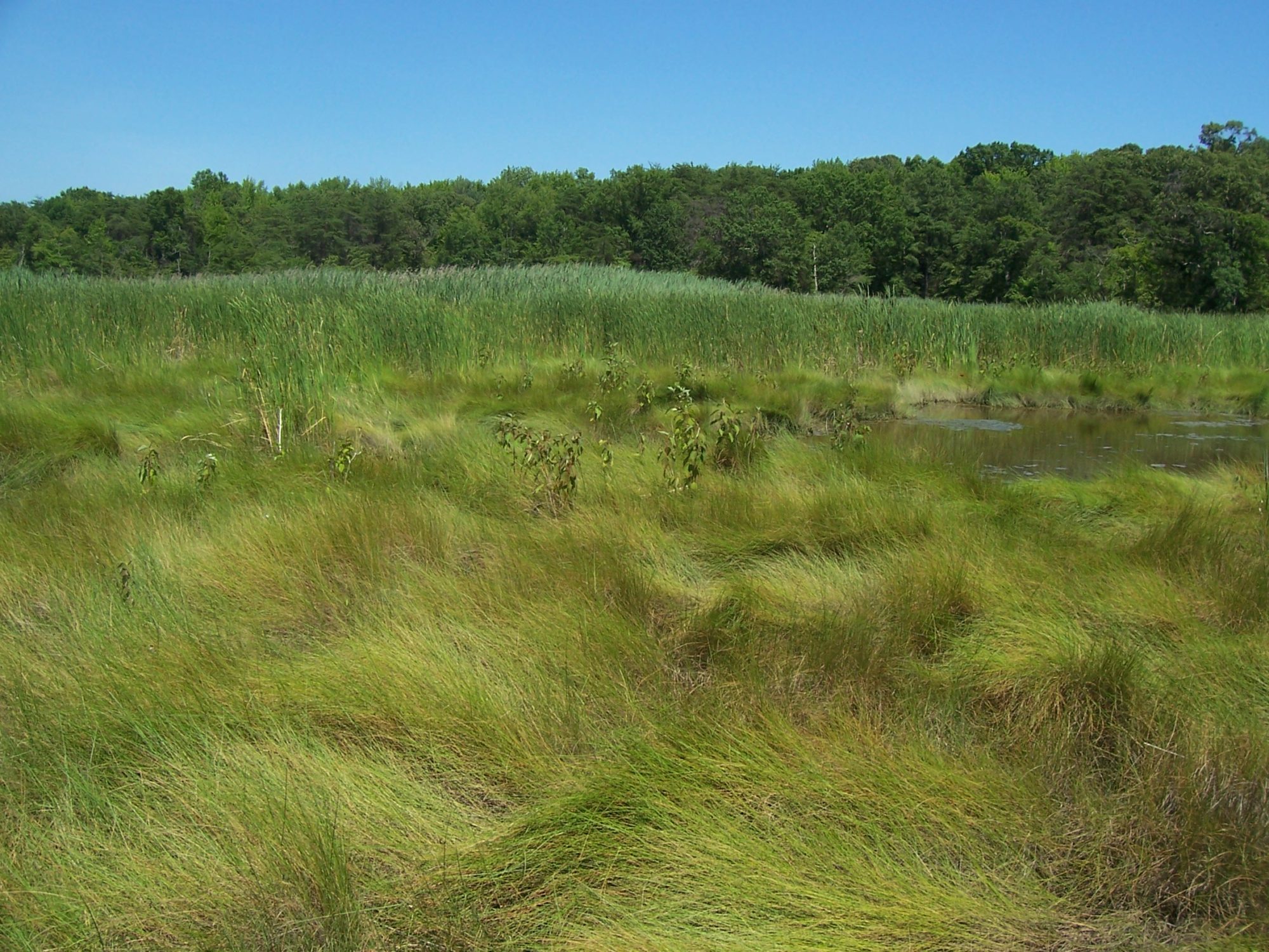
Blossom Point Delineation
LaPlata, Maryland
AMT performed the environmental engineering for a new satellite tracking facility at Blossom Point, delineating more than six miles of wetland boundaries, performing the Environmental Assessment and Finding of No Significant Impact and designing the stormwater management, erosion control and the stewardship plan to protect bald eagle nesting sites.
As part of a project to construct a new satellite tracking facility, AMT was contracted to perform the environmental engineering on the project. The project site contains the largest protected estuary of its kind along the Potomac River that contains varied types of wetlands and varied forest associations on publicly-owned land.
AMT’s Environmental Team delineated more than six miles of wetland boundaries and performed an Environmental Assessment and Finding of No Significant Impact. The Assessment addressed the wetlands and floodplain. We also designed the stormwater management, erosion control and stewardship plan for protecting bald eagle nesting sites and other critical habitats.


