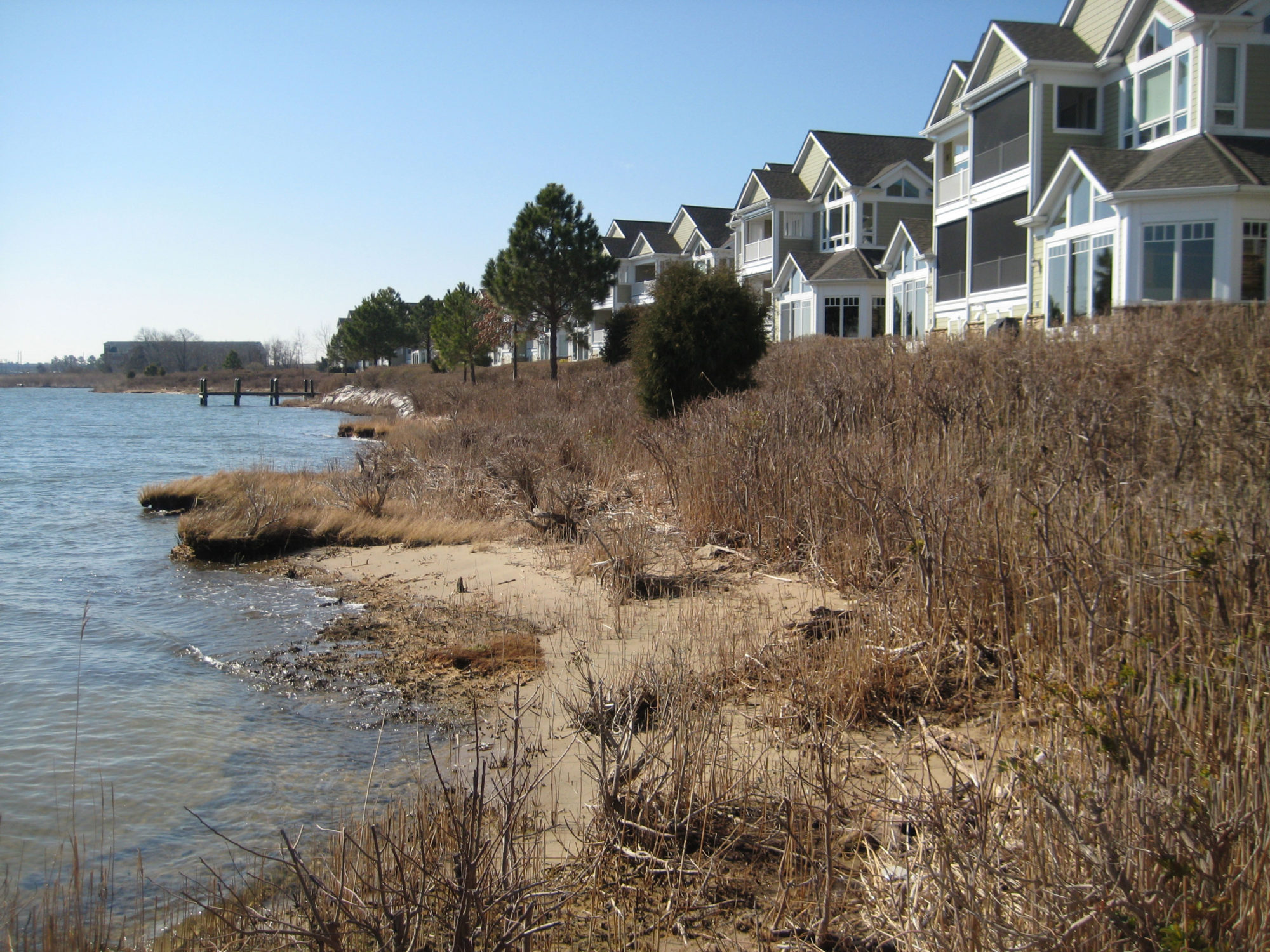
Narrows Pointe Living Shoreline
Queen Anne's County, Maryland
Narrows Pointe Community in Queen Anne’s County, Maryland, is a multi-unit townhome community on a linear peninsula of land with nearly 2,000 linear feet of shoreline jutting out into the Chester River. The long fetch (distance that waves and wind travel unimpeded over open water) and energy from waves, wind and storms on the Chester River are contributing to the slow erosion of the Narrows Pointe shoreline. To protect the community’s shoreline from erosion, the Narrows Pointe Living Shoreline is being constructed.
Living Shorelines are a form of non-structural shoreline stabilization measure comprised of stone sills (also called stone containment barriers) located just offshore. The stone sills’ large rocks provide stability by helping absorb wave energy from storm surge and flood waters; openings or spaces between some of the stone sills provide aquatic habitat access.
Behind the stone sills, stretching landward, is a sand-fill layer extending from the mid-tide elevation at a gentle slope to tie into the shoreline bank just above the local mean high-water elevation. The sand-fill layer is planted with Spartina Patens, high-marsh grasses planted from the mean high water elevation line to the edge of the sand fill, and low-marsh grasses such as Spartina Alterniflora, planted from the mid-tide elevation to the mean high water line. The grasses and sand-fill behind the stone sills will provide a natural vegetative buffer for protection and aquatic habitat areas, and they help to improve water quality by settling sediment and filtering pollution.
The Narrows Pointe Living Shoreline and similar projects designed to restore and stabilize eroded shorelines, channels and streambanks are small parts of a larger effort to help improve the health of Chesapeake Bay and protect property infrastructure.


