Survey / SUE / GIS

AMT offers a host of licensed surveyors, certified technicians, and licensed UAV pilots. We understand that each project is unique, that is why we combine experienced staff with the latest technologies to ensure accuracy, efficiency, and safety on every project.
Through conventional, GPS and remote sensing surveys, our survey team assists with data collection, boundary establishment, mapping and unmanned aerial vehicle (UAV) operations for both site and linear projects.
AMT’s SUE team has designated more than five million feet of utilities, safely excavated more than 1,000 utility test holes, and coordinated and designated utility relocations for public and private clients.
**Please be aware that at this time, A. Morton Thomas and Associates, Inc. does not provide land surveying services in North Carolina.**
We employ the latest technologies, ensuring accuracy and safety while using some of the most powerful tools in the industry.
Related Services

Topographic Surveys
A topographic map shows the location and elevation of manmade and natural features within the limits of survey of the project site....
learn more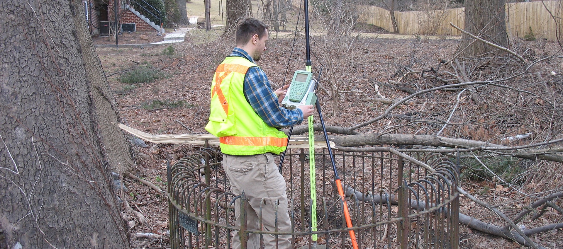
Boundary and Plats
A boundary survey is crucial to any planning or design of transportation projects, site development, and site improvement projects. A boundary survey...
learn more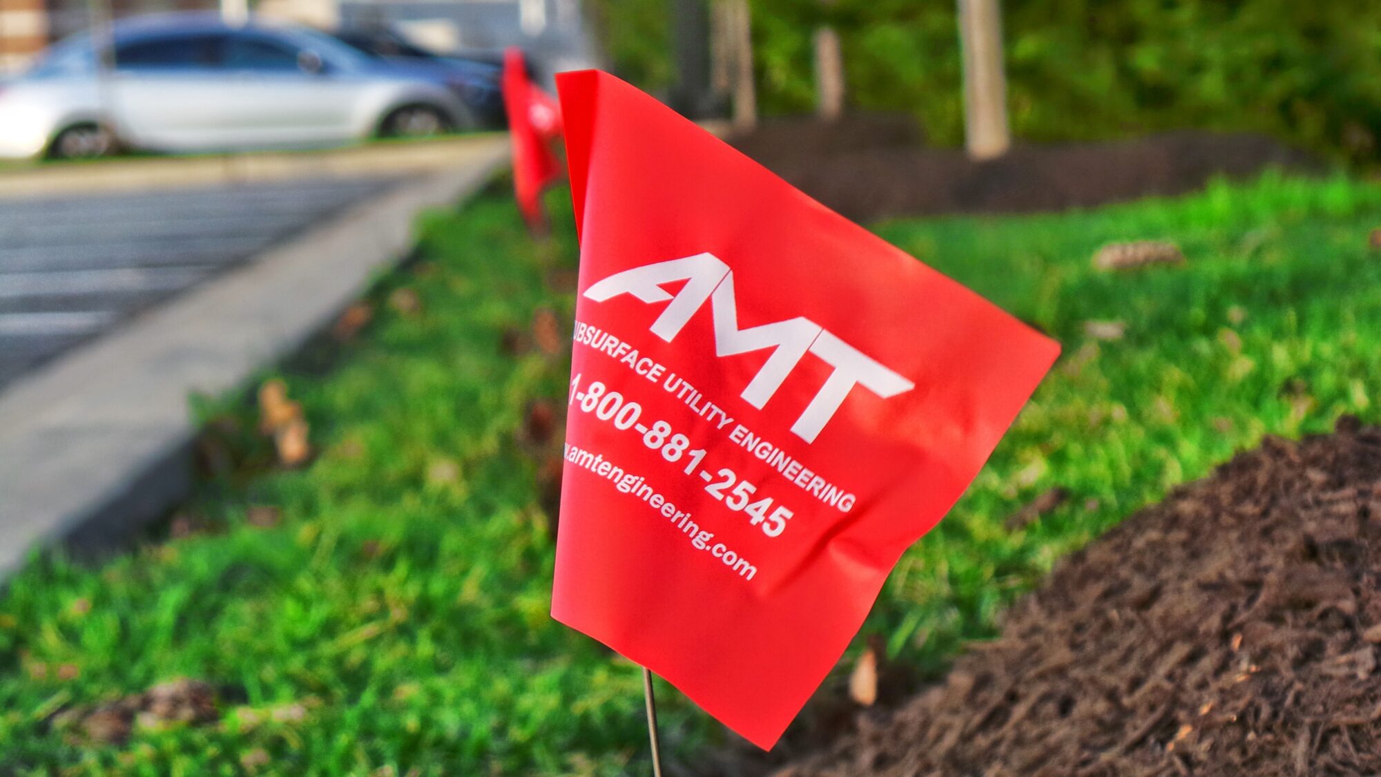
Construction Stakeout
A construction stakeout survey involves driving wooden stakes in the ground to identify the location of designed improvements. New construction typically requires...
learn more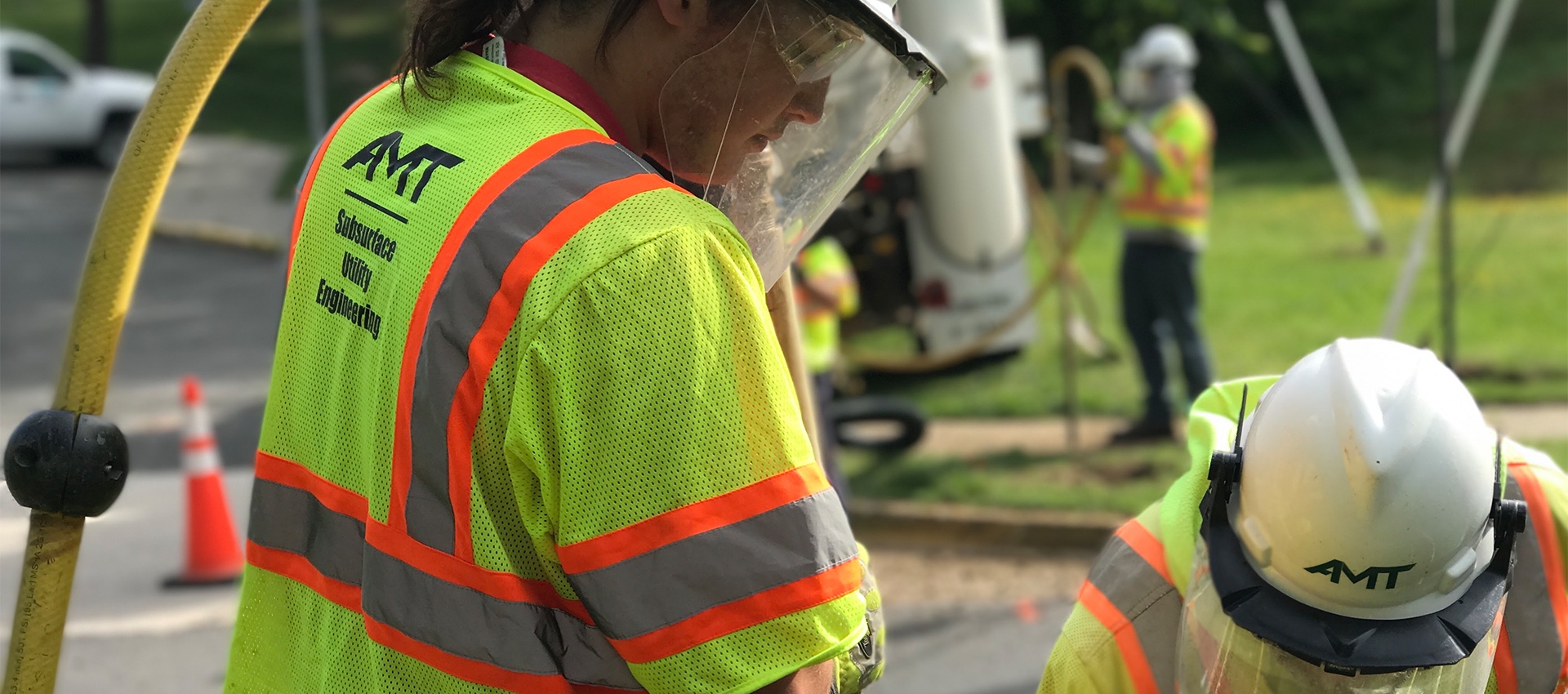
Utility Test Hole / Locating / Designating
AMT’s SUE Team offers a wide range of services to support utility mapping requirements and has designated more than 5 million feet...
learn more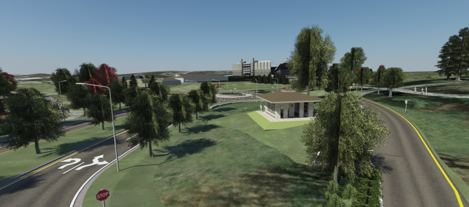
3D Scanning & Modeling
AMT designers can create 3D models of projects that are geometrically and visually accurate. On AMT’s Southgate Drive project at Virginia Tech,...
learn more
Drones / UAV Capabilities
AMT utilizes DJI Phantom 4 Pro drones to gather image data for project inspections, corridor mapping, engineering conceptual planning, topographic surveying and...
learn more