Construction Stakeout
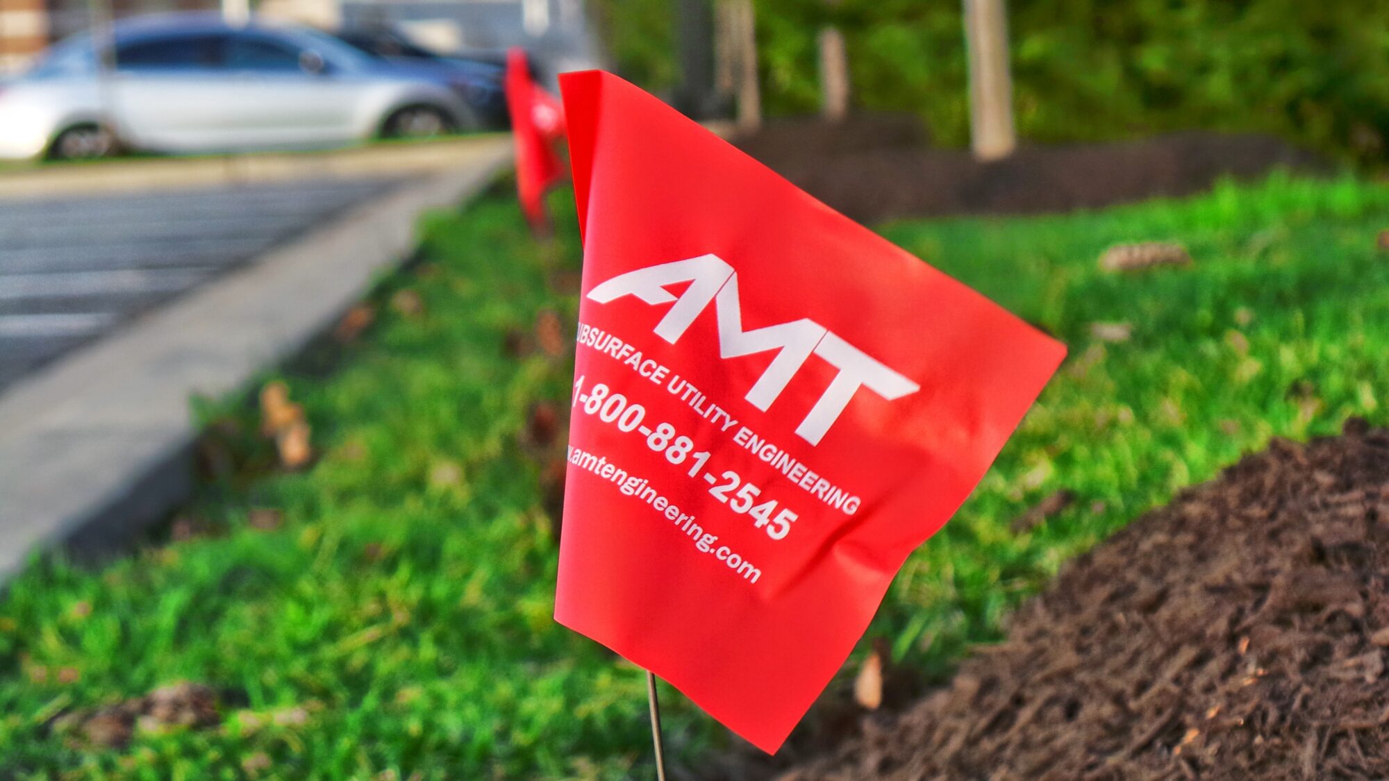
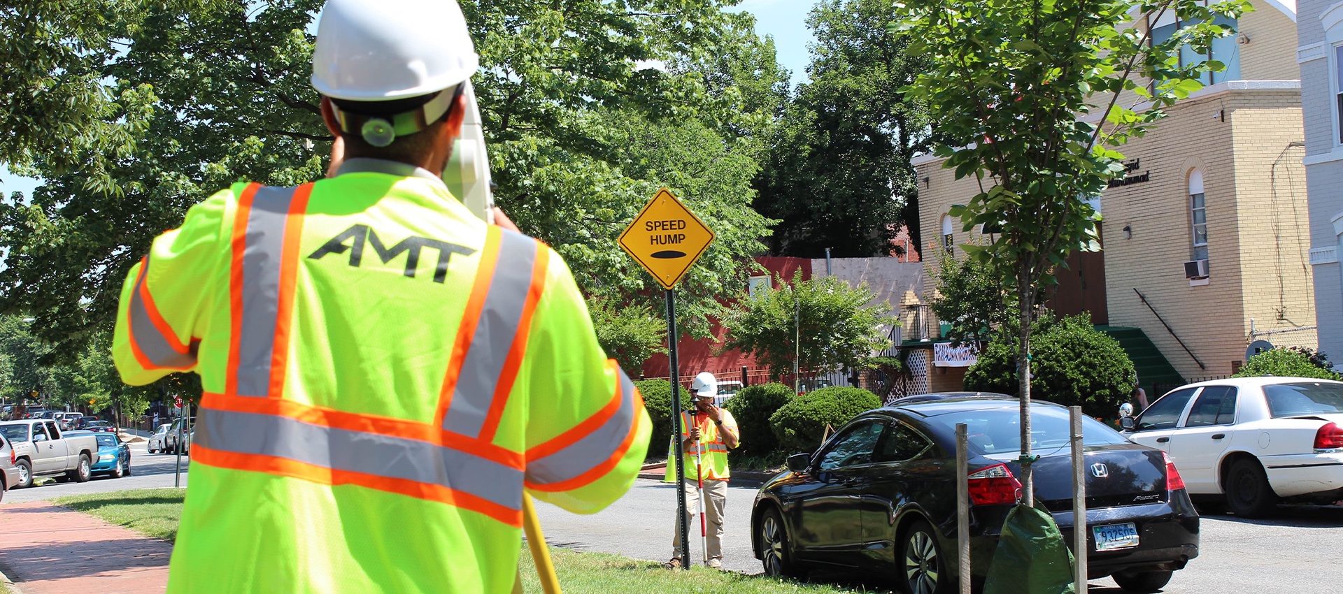
A construction stakeout survey involves driving wooden stakes in the ground to identify the location of designed improvements. New construction typically requires stake out for building foundations, columns, pavement, curbs and utilities. We take the engineered design plans, architectural drawings, and structural drawings of the site and building and compute the coordinated location of these improvements.
In addition to the horizontal location, a stakeout survey also tells the contractor at what elevation the improvements are to be. In other words, the contractor needs to know how far below or above the surface some things must be and how much dirt he must move to meet the requirements of the engineered design plans.
Sometimes a construction survey will include monitoring existing structures. A contractor needs to provide assurances that his activities like blasting, excavation and pile driving are not causing disturbances to adjacent buildings. In these cases, we will attach specialized reflecting targets to the existing structures. These targets are surveyed on a monthly, weekly or even daily basis and their location is compared to an original baseline measurement to determine whether there has been any settlement or movement.
All of AMT’s stakeout projects are overseen by experienced licensed staff. Team members (in the field and in the office) have two- or four-year college degrees and/or are qualified as Certified Survey Technicians under a program administered by the National Society of Professional Surveyors and the American Congress on Surveying and Mapping.
New construction typically requires stake out for building foundations, columns, pavement, curbs and utilities.
Related Services
Topographic Surveys
A topographic map shows the location and elevation of manmade and natural features within the limits of survey of the project site....
learn more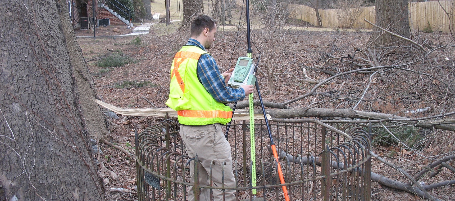
Boundary and Plats
A boundary survey is crucial to any planning or design of transportation projects, site development, and site improvement projects. A boundary survey...
learn more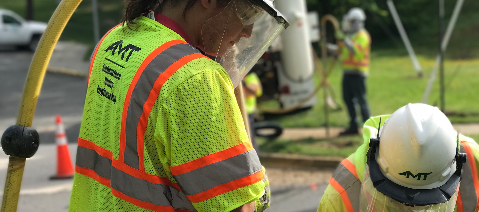
Utility Test Hole / Locating / Designating
AMT’s SUE Team offers a wide range of services to support utility mapping requirements and has designated more than 5 million feet...
learn more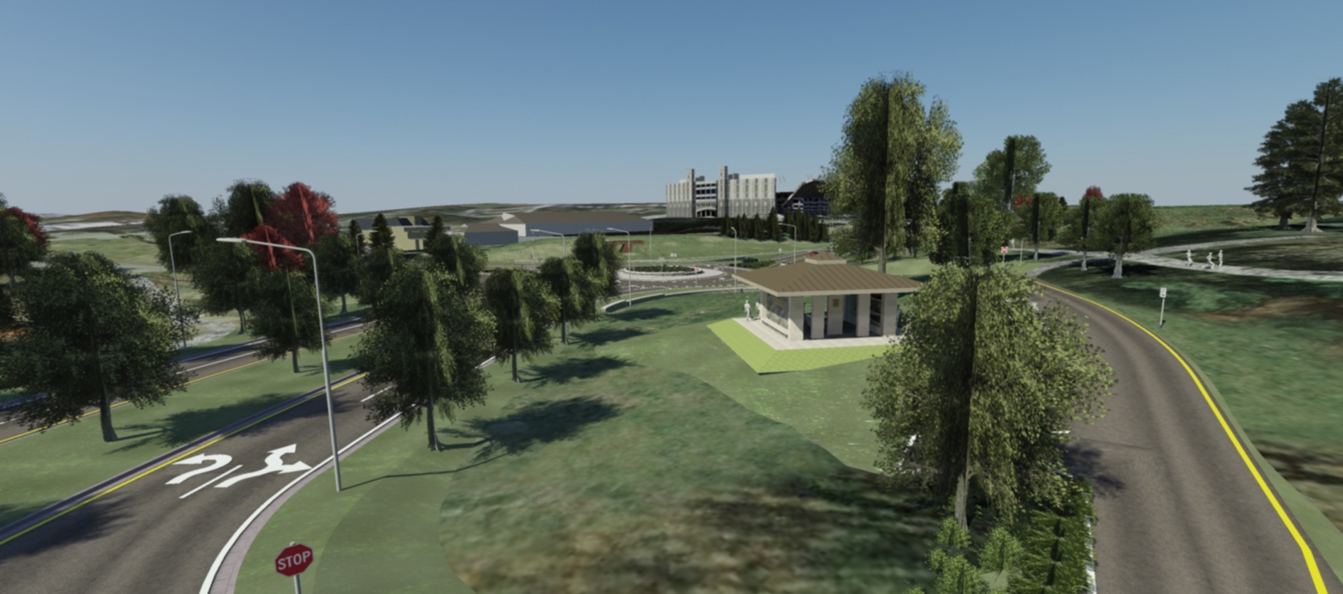
3D Scanning & Modeling
AMT designers can create 3D models of projects that are geometrically and visually accurate. On AMT’s Southgate Drive project at Virginia Tech,...
learn more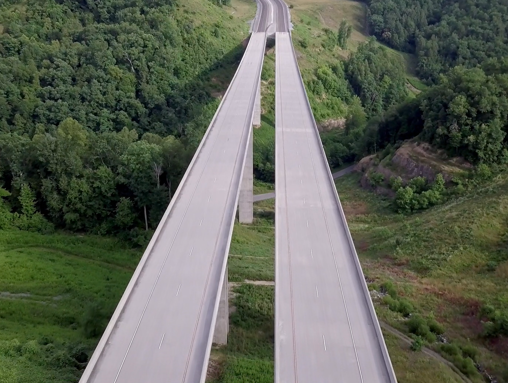
Drones / UAV Capabilities
AMT utilizes DJI Phantom 4 Pro drones to gather image data for project inspections, corridor mapping, engineering conceptual planning, topographic surveying and...
learn more
