Drones / UAV Capabilities
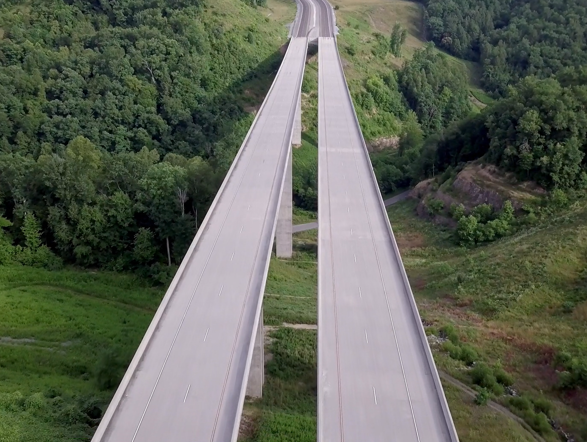
AMT utilizes DJI Phantom 4 Pro drones to gather image data for project inspections, corridor mapping, engineering conceptual planning, topographic surveying and promotional imaging. Our drone effort is compliant to all current rules and regulations. We currently have eight (8) FAA UAS licensed pilots, and the UAV’s are registered and marked per FAA regulations. We have also established a liability insurance policy to cover the use of this equipment commercially.
As an example of our work, AMT recently captured video imaging of several newly constructed roundabouts in the Central Virginia region. As we analyze the 20-minute duration videos, placed directly over the center of the roundabout, we observe the traffic patterns and identify conflicts that may be corrected by the engineering design of current and pending projects. Through observing the vehicles, the decisions made by the drivers can be analyzed as they choose entry, circle and then exit the roundabout feature. For other roadway projects, we have been able to observe aerial image data for analyzing and identifying traffic management challenges during peak usage at intersections, merging lanes and highway interchanges.
We have also utilized still images from flights capturing existing site conditions and to develop rendered graphics showing potential future conditions. Utilizing these images coupled with ground control points or GCP’s AMT is able to create an ortho-rectified image within Pix4D to create design grade and GIS quality surveys accurately and efficiently.
Moving forward, we will continue to advance our use of small unmanned aerial systems to better assess potential projects and to communicate project understanding, concepts and expectations, construction status and successful completion.
AMT utilizes DJI Phantom 4 Pro drones to gather image data for project inspections, corridor mapping, engineering conceptual planning, topographic surveying and promotional imaging.
Related Services
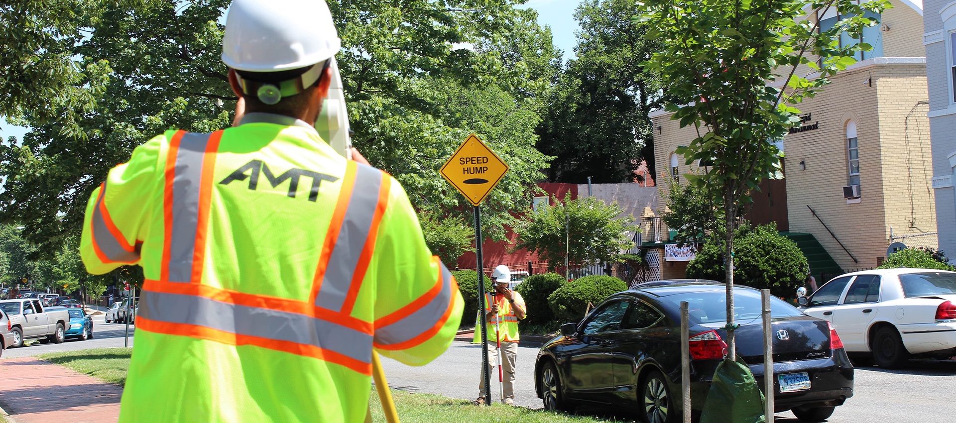
Topographic Surveys
A topographic map shows the location and elevation of manmade and natural features within the limits of survey of the project site....
learn more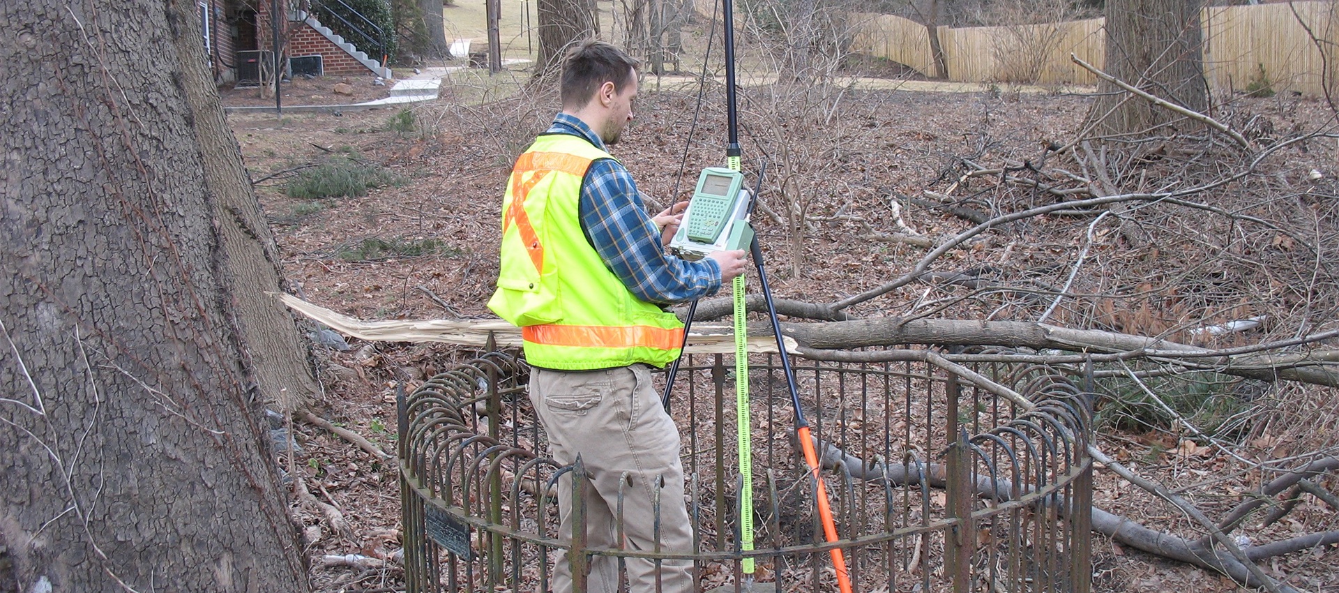
Boundary and Plats
A boundary survey is crucial to any planning or design of transportation projects, site development, and site improvement projects. A boundary survey...
learn more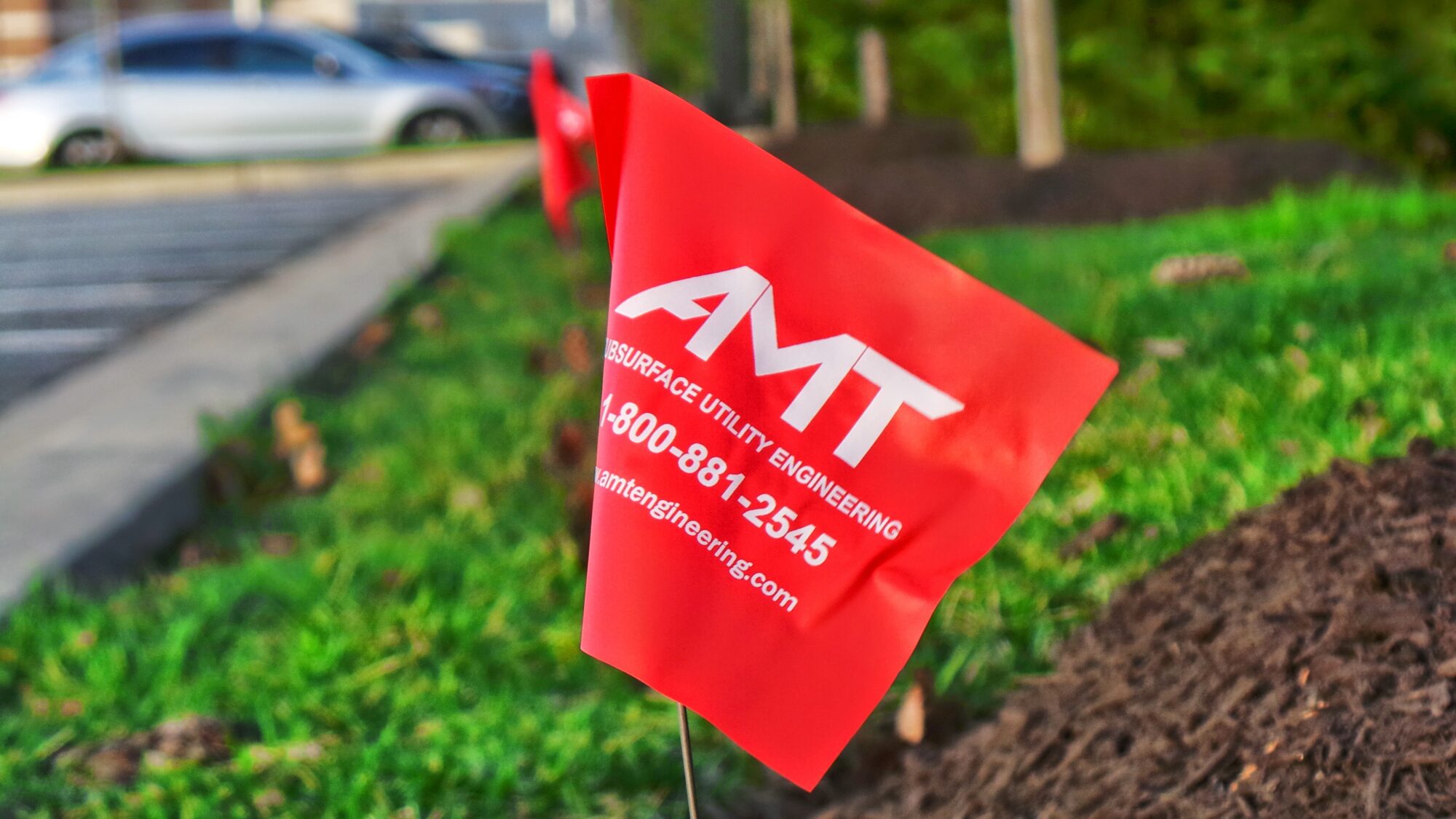
Construction Stakeout
A construction stakeout survey involves driving wooden stakes in the ground to identify the location of designed improvements. New construction typically requires...
learn more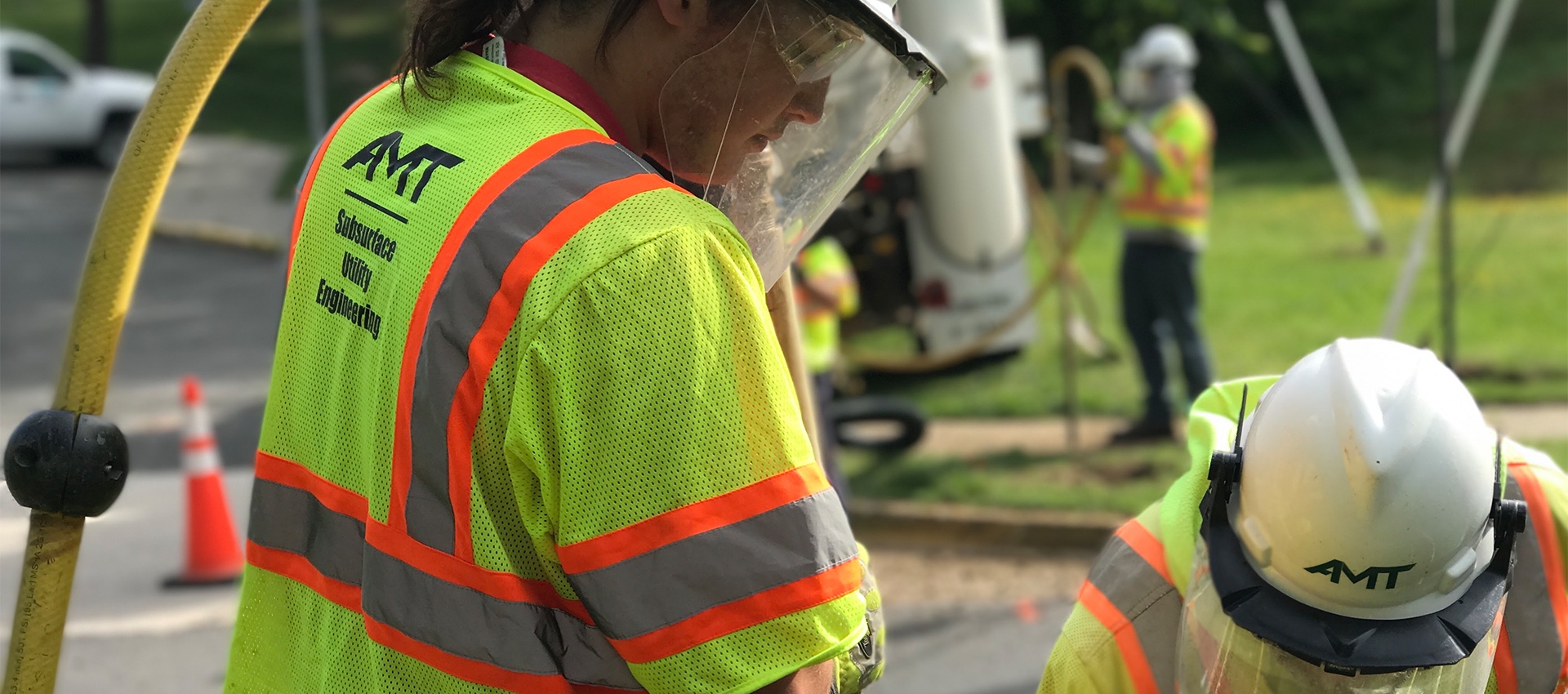
Utility Test Hole / Locating / Designating
AMT’s SUE Team offers a wide range of services to support utility mapping requirements and has designated more than 5 million feet...
learn more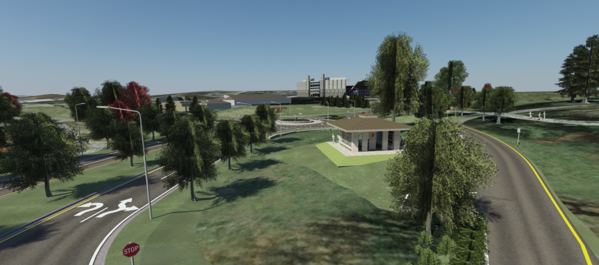
3D Scanning & Modeling
AMT designers can create 3D models of projects that are geometrically and visually accurate. On AMT’s Southgate Drive project at Virginia Tech,...
learn more